A major hurricane could devastate the Houston/Galveston region? Whooda thunk? Thank goodness they consulted the all knowing supercomputer model to figure this fact out: “it could easily have caused $100 billion in damage“.
Or, they could have simply consulted history to arrive at the same conclusion and saved a boatload of money and electricity. Nah, history ain’t sexy, modeling is. Don’t get me wrong, I’m all for hurricane safety preparation, but this didn’t require a multi-university consortium and a supercomputer model to figure out.
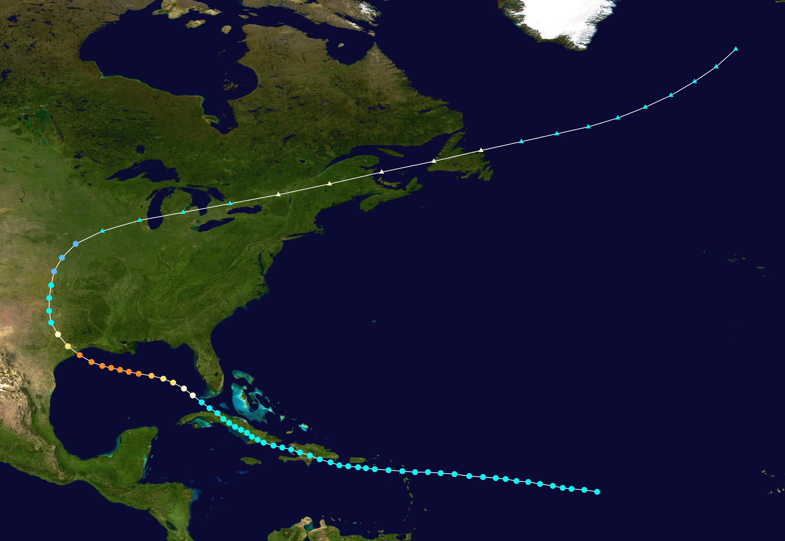
![]()

Via press release from Eurekalert. Study: Major hurricane could devastate Houston
Post-Ike study by Rice’s SSPEED Center details vulnerabilities
With the 2010 Atlantic hurricane season less than a week away, a new analysis from experts at several Texas universities is warning that a major hurricane could devastate the Houston/Galveston region. A report issued today by the Rice University-based Severe Storm Prediction, Education and Evacuation from Disasters Center (SSPEED) indicates that even a moderately powerful hurricane could endanger tens of thousands of lives and cripple the Houston Ship Channel, which is home to about one-quarter of U.S. refineries.
SSPEED’s report was unveiled today at the 2010 Coastal Resilience Symposium, a one-day workshop at Rice that brought together regional, national and international experts to discuss how the Houston region can be made more resilient to severe storm impacts.
“There are warning signs across the board,” said SSPEED Director Phil Bedient, Rice’s Herman Brown Professor of Engineering and a co-author of the new report. “Ike was a Category 2 hurricane, and it caused $30 billion in damage. Had that same storm struck 30 miles farther south, it could easily have caused $100 billion in damage. Had it struck that location as a Category 4 storm, like Carla, the results would have been catastrophic.”
The new report comes from an ongoing two-year study commissioned from SSPEED in 2009 by the nonprofit Houston Endowment. SSPEED has assembled a team of more than a dozen leading experts from Rice University, the University of Texas at Austin, Texas A&M University, the University of Houston, Texas Southern University and several other institutions to examine flood risks, evacuation readiness, industrial vulnerability and both structural and nonstructural approaches for mitigating storm impact.
SSPEED’s report indicates:
- Existing dikes and levees along the Houston Ship Channel were barely adequate during Hurricane Ike and would not protect all refineries from the storm surge of a more powerful hurricane or even an Ike-like Category 2 hurricane striking farther south.
- More than 65 percent of water-crossing bridges in the Galveston Bay area may be especially vulnerable to damage from a powerful hurricane like Katrina.
- Highway infrastructure to evacuate the 1 million residents living in evacuation zones today is inadequate, and 500,000 more are expected to move into these zones by 2035.
- There is a “major disconnect” between the level of coastal flooding that would be caused by a major hurricane and the 100-year floodplains that flood insurance is based upon.
Bedient said one need look no further than the Houston Ship Channel to get a clear sense of the region’s vulnerability. The ship channel is home to one of the nation’s busiest ports and about one-quarter of U.S. refineries. The Coast Guard estimates a one-month closure of a major port like Houston would cost the national economy $60 billion.
Despite this, government regulations require dikes and levees that can protect ship channel facilities against only the 100-year flood of 14-15 feet. Bedient said that based upon results from supercomputer models at the University of Texas, Austin, Ike could have caused a 20- to 25-foot storm surge along the ship channel if it had struck about 30 miles farther south.
“Our team is taking an in-depth, scientific look at structural proposals like the Ike Dike and other dike solutions, as well as nonstructural proposals related to land use,” said Rice’s Jim Blackburn, professor in the practice of environmental law and co-author of the new report. “Our work so far has revealed a number of different structural and nonstructural solutions. There are dozens of communities along the coast, and each is unique in some way. We are attempting to identify the most cost-effective and environmentally acceptable methods of providing a basic level of protection, including both structural barriers and nonstructural approaches that take advantage of natural features like barrier islands and storm-surge storage in wetlands.”
Blackburn said SSPEED’s goal is to propose policy options to decision makers at the state, local and federal level with an unbiased assessment of the economic and environmental costs and benefits of all approaches so that an informed decision on the future of the region can be made.
“And make no mistake about it – the solutions that are chosen to deal with this flood-surge problem will determine the landscape of the future for the upper Texas coast,” Blackburn said.
| Saffir-Simpson Hurricane Scale | ||||||
| TD | TS | 1 | 2 | 3 | 4 | 5 |
Discover more from Watts Up With That?
Subscribe to get the latest posts sent to your email.
No sh!t, Dick Tracy….
Study concludes: “major hurricane could devastate the Houston/Galveston region”
When?
Mike in Houston
Anything to appear even slightest bit relevant… and if its not spent this year, it comes off of next years tax payer stipend.
What has three legs and could kill you if it fell on you out of a tree?
Answer… a grand piano.
Of course a hurricane COULD devastate …. wherever. What a non-issue.
In other news Providence RI has been put on a state of high alert after they simulated the 1938 hurricane.
In the UK, panic about floods and a too broadbrush mapping of possible flood areas by the Dept of Environment (I think it was) has resulted in some folk not being able to get house insurance at all, despite no actual likelihood of there particular house flooding…. this “study” good for insurance hikes, surely!
With the 2010 Atlantic hurricane season less than a week away,
There is no magic switch that prevents hurricanes before June 1, and none that causes them after June 1. June and July are often quite quiet – August, September, and October are when the real action happens. See http://www.nhc.noaa.gov/pastprofile.shtml for a frequency plot and many good other images.
Early hurricanes tend to form in the Gulf of Mexico, it takes a while for the eastern Atlantic to warm up before the major Cape Verge hurricanes get going.
“And make no mistake about it – the solutions that are chosen to deal with this flood-surge problem will determine the landscape of the future for the upper Texas coast,” Blackburn said.
More likely it will be the hurricanes that determine the landscape of the future.
One thing that’s intriguing about the high activity period that started in 1995 is that New England has been largely spared so far. I don’t know if that’s just luck or if something else is involved.
In the last high activity period, we had:
* 1953 September – Hurricane Carol (the First)-category one. Maine landfall with considerable wind losses in Eastport, Maine and New Brunswick, Canada. This hurricane was eclipsed by the extreme damage of another Carol (the second) the very next year.135 mph at Block Island, R.I. and 125 at Milton, Ma.
* 1954 August – Hurricane Carol – category 3- wind gusts of category four strength in southeast Rhode Island and south coastal Massachusetts in the Buzzards Bay area west of Cape Cod. 60 killed. Extreme damage in coastal south Rhode island and south coastal Massachusetts. Buzzards Bay damage rivaled 1938 storm.
* 1954 September – Hurricane Edna – second category 3 hurricane in two weeks in New England made two landfalls, eye over Martha’s Vineyard and Cape Cod then again on coast of Maine where very severe losses occurred. Winds recorded at the hourly reading at 90 mph New Bedford Airport, New Bedford, Ma; 100 mph at Taunton, Ma. 112 mph at Milton Ma, and 125 mph at Chilmark, Marthas Vineyard Island.
http://en.wikipedia.org/wiki/List_of_New_England_hurricanes
DesertYote says:
May 28, 2010 at 10:01 am
Jim Blackburn’s not a researcher, he’s a Marxist Law professor.
Where’s the jargon in his statement? “costs” “benefits” “informed decision”? How the heck is that Marxist? Wanting to protect people from hurricanes is Marxist?
FWIW , I live on the Southeast coast , and tropical systems do pop up early in the season , although it’s rare . It pays to keep an eye on things , especially since it won’t take a major hurricane to do a tremendous amount of damage around these parts .
Anthony , thanks for the info .
…And the SSPEED’s study was funded by whom?
Wouldn’t be AIG, would it??
Okay, where do I go to get paid by this group? I have known this little nugget of information since I was a kid.
Well damn.Next they are going to be telling us that hurricanes start in the south Atlantic and move north towards land!Build a fence around Cuba to stop them!Hint for the stupid.You build on or below sealevel,you get flooded.Oh.And here in Edmonton,we may have a hurricane next year…NOT.The only crap we get here is from yukaflux parties.
OMG! Luckily my grandparents are dead or else they might be killed by this possible, future storm. Phew!
The chart of top 10 costliest U S Atlantic hurricanes shows only 2 after 1979.
Did someone forget to Manipulate the data to get it to conform to the idea that we should be having bigger and stronger storms since 1979?
It seems you didn’t put your whole heart into your conclusion.
Here’s a more, per the day, proper reasoning:
So one major hurricane could essentially wipe out half of US population in one swell swoop.
Some 150 million people left dead or dying!
With a more proper, per the day, conclusion: O M F G ! ! !
Save yourselves … 😉
When these kind of c*ap analysis are published, it means too much government funding going down. Time to cut back the climate funding hose from “full stop on” to “normal”.
Glad someone else’s reaction was “duh”. Anyone with any knowledge of hurricane history would realize that the Houston / Galveston area is one of the most at risk areas. Combining likelihood with how devastating a storm could be, the most at risk areas are probably New Orleans, Miami, Houston / Galveston, Tampa Bay, and New York/ New Jersey/Connecticut, Maybe someone will actually do something to improve the protections in the area instead of doing nothing like happened in New Orleans when everyone with a clue knew the devastation that could happen.
We moved from Seabrook (a southern suburb of Houston) about 9 years ago when I looked closely at a hurricane map that showed our town house would be under 20 ft of water during a Cat 1 Hurricane. Knowing that would happen with reasonable certainty we decided Denver was safer. (I was also tired of running the AC 10 months out of 12). Anyone in the Houston area that isn’t aware of the danger is simply not paying attention.
This study didn’t add anything one could not have determined for themselves.
Before Katrina, the USGS rated New Orleans as the most likely place in the USA for a natural disaster to cause major damage and loss of life. As far as I know, they used no supercomputer to figure that out. Nobody paid attention.
Ric Werme says:
May 28, 2010 at 11:03 am
Yes New England could be hit – but if a group of universities want to make headlines they need to talk about the cost of a cat 3 hurricane landfall just East of Long Island onto Manhattan. All too possible and the costs of wind damage and a constrained storm surge would make even Texan eyes water.
This kind of doom research is easy – but there are better odds of an asteroid impacting Earth than there are of winning even a small state lottery. The difference is that with some ‘dooms’ there are things that can be taxed and with others all that can be done is to worry. Politicians like taxable dooms and will sponsor as much research as is necessary to make them public or private cash cows.
Hmmmm. Strange.
Didnt anybody notice which country that hurricane will wipe out first?
Cuba. Lots of marxists there. Strange the AGW’ers dont give a warning to Cuba?
Is this true?: The war against CLIMATE CHANGE?
“the gravest danger to the American people and global security continues to come from weapons of mass destruction, particularly nuclear weapons.” But he also dwells on cyberthreats, climate change”
http://www.nytimes.com/2010/05/28/world/28strategy.html?src=me
And this: “help prevent conflict, spur economic growth, strengthen weak and failing states, lift people out of poverty, combat climate changes and epidemic disease, and strengthen institutions of democratic governance.“
http://www.cfr.org/publication/22240/obamas_nss.html
[snip – not interested in your personal labeling of this blog and the people who visit it – if you don’t like it here don’t visit. I don’t take kindly to your use of the publicly funded EPA network on the taxpayers dime to disparage citizens with ad hominem attacks. – Anthony]
This didn’t strike me the way it apparently strikes many of you. I’ve been involved (on a small scale) in emergency planning related to natural disasters, and this kind of information can be extremely helpful. Even if many of the conclusions seem obvious, it’s useful to have a lot of information consolidated into a single report. Also, please note that the authors are trying to anticipate conditions under an extremely severe storm scenario, so that reasonable steps to minimize damage from such a storm can be identified and implemented well beforehand. One of the things you have to do in order to make these preparations is to inform and persuade people at many different political levels, and a document like this can be useful in that respect as well. If the state of Louisiana had conducted a study like this ten years ago, and actually acted on the results, New Orleans might be in better shape today.