by Bob Tisdale
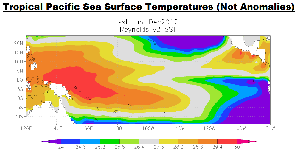
It’s difficult to express how enormous El Niño and La Niña events are. Often, when discussing them, I’ll display a map of the tropical Pacific (see example here) and write something to the effect of, the equatorial Pacific or the tropical Pacific stretches almost half way around the globe. But that really doesn’t show up very well with a map.
I was cleaning out a catch-all drawer in my desk recently and happened on a protractor. (I even have a pocket calculator and a slide rule in there. No abacus, though.) It occurred to me that maybe a graduated half-circle would help to put the equatorial Pacific and El Niño-Southern Oscillation (ENSO) events into perspective for some readers.

Figure 1
(As a reference, the same illustration with the NINO3.4 region identified is here.)
To create Figure 1, I borrowed the image of a protractor from a website, started the longitudes with 110E to the left and ended with 70W to the right, and added a couple of blobs to indicate Indonesia in the west and South America in the east. If we consider this a partial cross-section, we’re looking north. I’ve also identified the longitudes for the region used in the Cold Tongue Index (180-90W) and the longitudes I typically present for the western equatorial Pacific (120E-165E). The sea surface temperature anomalies for the Cold Tongue Region (known as the Cold Tongue Index) are a commonly used index for the strength, timing and duration of El Niño and La Niña events. I used the Cold Tongue Index for this post in place of the more commonly used NINO3.4 sea surface temperature anomalies because, as you can see, the Cold Tongue Region stretches ¼ of the way around the globe. The longitudes for the western equatorial Pacific stretch half that—or 1/8 of the length of the equator.
A graph of the sea surface temperature anomalies of the western equatorial Pacific (6S-6N, 120E-165E) and the Cold Tongue Region (6S-6N, 180-90W) is shown in Figure 2. A huge volume of naturally created warm water is transported from the western equatorial Pacific eastward to the Cold Tongue Region during an El Niño. We can see that sea surface temperatures in the Cold Tongue Region warm drastically during El Niños and cool during La Niñas—nothing new with that. During the evolution of the1997/98 El Niño, so much naturally created warm water was transported east that sea surface temperature anomalies for the Cold Tongue Region (which stretches ¼ of the way around the globe) warmed more than 3.0 deg C (about 5.4 deg F) from January to December 1997.

Figure 2
On the other hand, the sea surface temperature anomalies for the western equatorial Pacific cool during El Niños and warm during La Niñas. But as we can see in Figure 2, the cooling in the western equatorial Pacific is much less than the warming in the Cold Tongue Region during El Niños, and there’s much less warming in the western equatorial Pacific than there is cooling in the Cold Tongue Region during La Niñas. So the cooling (warming) in the western equatorial Pacific is not enough to offset the warming (cooling) in the Cold Tongue Region, especially when we consider the Cold Tongue Region is twice the size of the western equatorial Pacific. That’s one of the indications that much of the warm water that fuels an El Niño comes from below the surface of the western tropical Pacific.
In Figure 2 above, the magnitude of the variations in the eastern equatorial Pacific (Cold Tongue Region) mask something that happened in the western equatorial Pacific during the 1995/96 La Niña. So in Figure 3, I’ve scaled the Cold Tongue Region data by a factor of 0.25 and smoothed both datasets with 13-month running-average filters. Now, standing out quite clearly is the upward shift in the sea surface temperature anomalies of the western equatorial Pacific that happened in response to the 1995/96 La Niña. Other than the dip and rebound associated with the 1997/98 El Niño, the sea surface temperatures of the western equatorial Pacific have been relatively flat since 1996.

Figure 3
I’ve been showing the same upward shift in the ocean heat content data of the tropical Pacific for more than 3 years. I’ve added scaled tropical Pacific ocean heat content data (24S-24N, 120E-90W) for the depths of 0-700 meters to the comparison graph in Figure 4. (The ENSO-related variations in tropical Pacific ocean heat content take place in the top 300 meters, so we’ve captured them with this depth.) In response to the major El Niño and La Niña events, the larger variations in the sea surface temperature anomalies of the western equatorial Pacific and the ocean heat content for the entire tropical Pacific mimic one another. But there appears to be an additional seasonal component in the sea surface temperature anomalies of the western equatorial Pacific.

Figure 4
A REMINDER ABOUT THE 1995/96 LA NIÑA
As you’ll recall from earlier posts, when looking at the sea surface temperature anomalies of the Cold Tongue Region, the 1995/96 La Niña was not strong, but there were unusually strong trade winds in the western equatorial Pacific. According to McPhaden (1999) The Evolution of the 1997/98 El Niño:
For at least a year before the onset of the 1997–98 El Niño, there was a buildup of heat content in the western equatorial Pacific due to stronger than normal trade winds associated with a weak La Niña in 1995–96.
Stronger trade winds reduce cloud cover, which allows more sunlight to warm the tropical Pacific. All of that warm water then collects in the west Pacific Warm Pool.
And as you’ll further recall, the 1995/96 La Niña created the warm water that fueled the 1997/98 El Niño. In turn, the 1997/98 El Niño released enough of that naturally created warm water from below the surface of the western tropical Pacific to temporarily raise the sea surface temperatures of the East Pacific (90S-90N, 180-80W) about 0.5 to 0.6 deg C. See Figure 5. Keep in mind the East Pacific from pole to pole covers about 33% of the surface area of the global oceans. And there was enough naturally created warm water left over from the 1997/98 El Niño to cause the sea surface temperatures of the Atlantic, Indian and West Pacific oceans (the rest of the global oceans) to warm about 0.19 deg C, Figure 5—where they remained until the next strong El Niño in 2009/10.

Figure 5
##########

Figure 6
FURTHER INFORMATION
If this subject is new to you, refer to my illustrated essay “The Manmade Global Warming Challenge” [42MB], which was introduced here.
For a much more-detailed discussion, refer to my ebook Who Turned on the Heat, (US $8.00), which was introduced in the post here.
SOURCES
The Reynolds Optimum Interpolation sea surface temperature data (v2) is available through the NOAA NOMADS website and the KNMI Climate Explorer. The KNMI Climate Explorer is also the source of the NODC Ocean Heat Content data (0-700m) used in this post.
ROM says: “Take one of those World globes on it’s tilted stand. Place the globe so the equator is at or just above eye level with the North Pole tilted directly away from you. Turn the globe until you have the full Pacific Ocean facing you and stand back a couple of metres.”
If you have Google Earth, you can do the same. Simply enter the coordinates of 0,-160, and the globe should be presented similar to the following:
http://i48.tinypic.com/34q8rp0.jpg
Bob, I’d say you’ve done a particularly good job on this post. This has triggered some insights that are probably better discussed elsewhere. Regards.
Bob Tisdale says:
April 15, 2013 at 2:18 am
If an El Nino results and the Equatorial Counter Current strengthens to carry more warm water east, I’m not sure about the speed of that current. It should depend on the strength of the westerlies.
==============
The Equatorial Counter Current is sufficiently fast that it has been proposed as a method for sailboats to travel east along the equator. By deploying a drogue at depth on a line, it has been proposed that sailboats could travel east at speeds greater than could be achieved under sail.
A cruising sailboat averages about 100 nautical miles a day. Less in adverse winds. More in favorable winds.
Bob Tisdale, Thanks for taking the time to address a few questions. Above, I asked:
“Does ENSO add or subtract energy from Earth’s climate system, or does it just move energy around within that system?”
You replied: “ENSO adds heat to the oceans at depth.”
Can I conclude from that answer that ENSO does NOT add energy to Earth’s climate system, but rather just moves energy around within that system?
Thanks Again for your interesting post(s).
JP
phlogiston says: “I’m interested in the speed that the warm water (accumulated in the Western Pacific from equatorial sunshine and trade winds during La Nina events) must travel at in order to cross from the west to east Pacific during the course of an el Nino event.”
Bob Tisdale says: “An equatorial Kelvin wave typically moves at about 2.8 meters per second (about 6.3 miles per hour) and can travel the distance between New Guinea in the west and South America in the east in about two months.”
Having taken a purse seiner from Solomon Islands to Guam, equipped with a machine that could measure the speed and direction of water at various depths via doppler, (this was needed to prevent “roll-ups” of the enormous net used in equatorial waters) I was fascinated to see that the current could be (say) 0.9 knots and heading 045 degs at the surface, and 6 (!) knots and 090 at 150 metres down, in the waters north of Bougainville. Sometimes the surface water was travelling in the opposite direction to the deeper water. From memory, the Doppler went down to about 300 metres.
BTW, Bob, excellent post!! Fascinating.
Bob, do you know of any animations of these maps to which Bill Illis has previously drawn our attention?
http://www.cpc.ncep.noaa.gov/products/GODAS/mnth_gif/xy/mnth.anom.xy.u15m.1997.10.gif
http://www.cpc.ncep.noaa.gov/products/GODAS/mnth_gif/xy/mnth.anom.xy.u15m.1998.05.gif
(Too bad they don’t go back further in time to illustrate the ~20-year-spaced recurrences you’ve listed above.)