I had to share this “laugh out loud” moment from Bishop Hill and the photo of this weather station. Andrew Montford writes:
Settled science
Much amusement is to be had from a posting at a blog called Sudden Oak Life. The author has recorded images of the Radcliffe surface temperature station in Oxford, part of the Central England Temperature Record and one of the longest temperature records there is.
It’s fair to say the quality of the record has declined since the 18th century.

That red thing with the hose and the exhaust stack is a space heater for the tent. Note the Stevenson Screen to the right and the automated weather station to the left. Note also that the station is boxed in pretty well with trees and infrastructure, and now we have this heated tent.
Located at the college is Radcliffe Observatory, home of the Radcliffe meteorological station, which has provided weather data since 1767 and constitutes the “longest series of temperature and rainfall records for one site in Britain“. This station is part of the Central England Temperature record that purports to be “the longest instrumental record of temperature in the world“. Thus, with regards to surface observations on climate, this station is one of, if not, is the most important weather station in the world. I’ve been intrigued by this station ever since I saw it in the mid 90s, and have wondered what the area was like more than 200 years ago, and how the subsequent urbanization has affected those weather records.

The newest method of adjusting temperatures.
If they also record wind direction at the site, I’m sure they could prove CAGW when the site is downwind.
(But who want’s to be downwind of a pile of BS?8-)
You can see the tent on Google Earth !
https://www.google.se/maps/place/Radcliffe+Observatory,+Oxford,+Oxfordshire+OX2,+Storbritannien/@51.7611042,-1.2645305,231m/data=!3m1!1e3!4m2!3m1!1s0x4876c6a759cd4d3f:0x9d1f5254e6548c64
so it may have been up for a while.
Teddle
Well, Maybe Google got lucky . . . . .
And – of course – they might have not, and it’s there 4/7/365 .. .. .. . . .
Check local planning application if it might have been up for a bit . . .
Auto
I liked the view of the black asphalt parking lots to,the south, and the two asphalt tennis courts to the east…
Google Maps is a DigitalGlobe image, dated 3/8/2014, which would probably be a Saturday.
And the pie/pizza shop, and the A4144 road, and the dry cleaners, and university, and residential etc. Hmmm..now I know how man influences temperatures.
The dome of the Radcliffe Observatory casts a shadow to the north across the tent into the grass beyond, so the white dot at the upper left of the shadow must be the Stevenson screen. The camera had to be in the grass on the right (east) shooting straight west across the north edge of the tent.
The same view is available via Google Earth, and the yardstick says the north west corner of the tent is 22 feet away from the Stevenson Screen, which will make the distance to the heater about the same (~20 ft).
It’s worse than we thought. The site includes a greenhouse.
http://static.panoramio.com/photos/large/104212827.jpg
The Stevenson screen is just visible through the center of the plantings where the path diverges.
The CET was a ‘weird creature’ before 1990.
In the winter Atlantic Ocean keeps Oxford (51N) much warmer than say New York (40N) despite being more than 10 degrees further North.
But curious thing about it is: In the winter when the N. Atlantic was warmer the CET winter got colder and vice versa ?!
Then came along 1990, the CET got to its senses.and started behaving as expected.
http://www.vukcevic.talktalk.net/NA-Winter1.gif
note that the NA SST scale is inverted.
What is going on here?
In the winter when the jet stream is predominantly ‘zonal’, the CET area gets warm south westerlies bringing warm air (sea surface is warmer than land). If the jet stream has ‘meridional’ orientation prevailing winds are from N-NW bringing in the Arctic’s cold air.
I think that for some reason the NA SST – polar jet stream orientation relationship has flipped ?!
Anyone ?
Where is that graphic from?
http://www.vukcevic.talktalk.net/NA-Winter1.gif
I did it few days ago; Data CET from the UK MetOffice, NA-SST from NOAA.
Thanks vukcevic.
What happened in 1980: Prince Charles began blowing hot air all the time.
Adjustments for urban warming started in 1980 (-0.1°C) and were doubled about the year 2000 (varies by month) see p. 330 in:
http://www.metoffice.gov.uk/hadobs/hadcet/Parker_etalIJOC1992_dailyCET.pdf
NA SST, and it impacted the whole continent.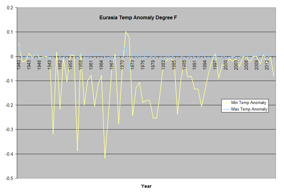
+1
The picture is taken during daytime. At night the heater is connected directly to the Stevenson Screen, in order to adjust the recorded temperature.
It would seem easy enough to experiment and discover what the device actually does when running. If anyone actually cared about accuracy and data.
No one pumps heat out of a house except in summer, and would not use a heater to do so. Clearly this is an intake unit. So What. Radiant heat from over 40 ft away will be in hundredths of a degree if any.
Radiant heat plus all that nice warm air leaking from the tent.
Regardless, hundredths of a degree would just about cancel out global warming.
Quote:-The Central England Temperature series (HadCET)
These series are representative of an area from the south Midlands to Lancashire.
Series are produced for maximum, minimum and mean temperature – both daily and monthly.
Data from a small number of stations are used, the 2007 core network being Rothamsted (Herts), Pershore (Worcs) and Stonyhurst (Lancs).
Any effects of urbanisation are minimised by comparison with nearby rural stations.
Estimates of the uncertainty associated with the values are available at all timescales, from daily to annual.
Source:-http://www.metoffice.gov.uk/climate/uk/about/archives
More on the Radcliffe Station here.
http://www.rmets.org/sites/default/files/qj74manley.pdf
Radcliffe annual mean temperature 1815 to 2014. My guess is the tent went in and/or the area became built-up affecting UHI about 1990.
http://www.geog.ox.ac.uk/research/climate/rms/meanairl.png
annual data at this link:
http://www.geog.ox.ac.uk/research/climate/rms/meanair.html
I guess you could actually call this picture proof of, “Man Made Global Warming”.
I guess you could call this picture actual proof of, “Man Made Global Warming”.
Meanwhile, near the antipodes of Oxford, the historic Melbourne Regional weather station, BOM 86071, is now stripped of instruments. So, we have gained an inner city picnic spot behind that black wire mesh.
Yes, this is the station that was prominent in questions arising about the quality of BOM temperature data. All gone now. End of stories. Nothing to see here.
http://www.geoffstuff.com/bom_regional_closed.jpg
In Hawaii we prefer them aside the Tarmac of the landing field. That is where they are in all four counties. Interestingly enough, Honolulu has a back up weather station a half mile away on a barren coral bed, near a freeway. But it always reports about 2F less than the “official” station, daytime . The meteorologist consider that temperature closer to the real one.
But may not report it to NOAA via strict orders
Here is a sample of IR readings from a clear sky day, starting at 6:30pm, 11:00pm, 12:00pm, then 6:30am.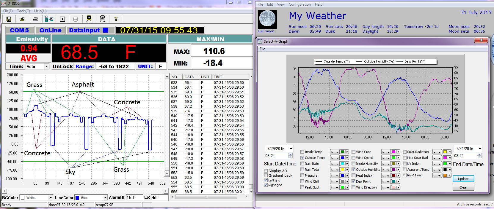
These temps came from my front yard, concrete sidewalk that I measure as I walk to the driveway which is asphalt. From early afternoon, as it gets later, more and more of the sidewalk is in the shade.
I know that site rather well. It used to be occupied by the Radcliffe Infirmary, Oxford’s oldest hospital. I was born therein.
Once CAGW is finally dead and buried, real scientists will have the arduous task of correcting all the manipulative “adjustments” CAGW advocates have made to raw temperature data and to weather station sites over the past 30 years.
As it stands now, HADCRUT4 and GISTEMP have almost become meaningless temp anomaly data sets due to all the unfounded “fixing” of data to meet the various CAGW agendas.
Reblogged this on gottadobetterthanthis and commented:
–
Pretending to measure surface temperature at better than about ±1.5°C is simply laughable.