Guest “Letterman shtick” by David Middleton
Who else remembers way back when David Letterman was funny? Two skits really stood out:
Eric Berger provided his version of Stupid Meteorologist Tricks in this ARS Technica article:
GO AWAY, LAURA —
There’s a big hurricane headed toward Texas, and it’s a nightmare forecast
As a meteorologist, all I can think is “here we go again.”
ERIC BERGER – 8/25/2020It seems increasingly likely that Hurricane Laura will continue to intensify on Tuesday and Wednesday before making landfall along the upper Texas coast, or possibly southwestern Louisiana, early on Thursday.
Of all the many named storms in 2020—and we are on the “L” storm already with the early September peak of the Atlantic hurricane season still looming—this one has the potential to wreak the most widespread devastation yet. This is because Laura will likely become a major hurricane before landfall, reaching Category 3 status, and could potentially strike the populous Houston metro area.
That happens to be where I live, in a home about 15 miles from the coast. And as a meteorologist, all I can think is here we go again. Just three years ago to this very date, Hurricane Harvey brought record flooding to the Houston community and its surrounding areas. It became the worst flood storm in US history.
[…]
Which brings us back to Houston. Right now, the metro area lies on the extreme western edge of the National Hurricane Center’s forecast cone. The storm is predicted to make landfall about 90 miles to the east of Houston. This is far enough away from the storm’s center to spare a metro area with a population of 7 million people from the worst. In fact, much of the city would not even see tropical storm-force winds.
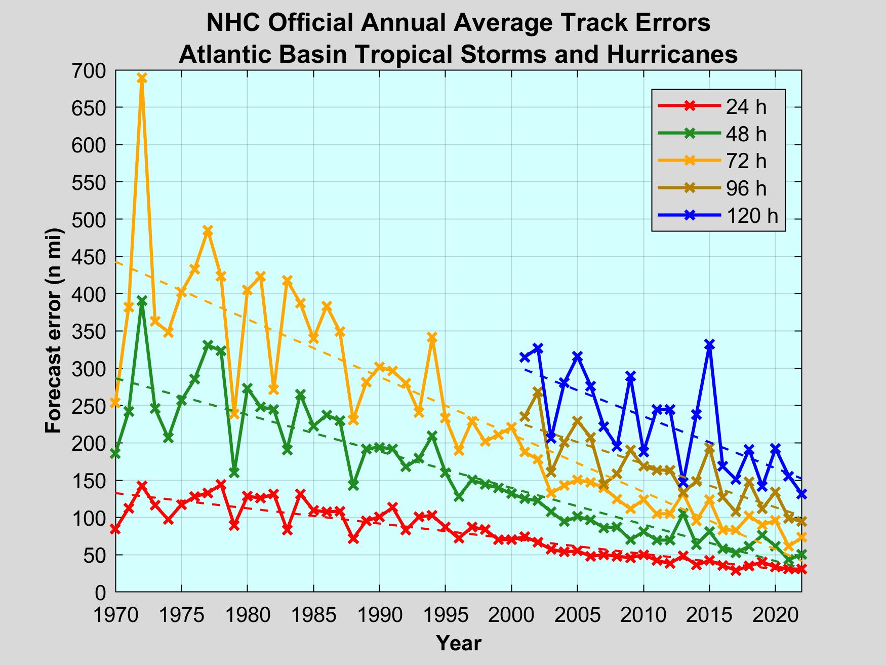
But if the storm were to come in 90 miles to the west, along Galveston Island, it would be an entirely different story. And this is entirely within the realm of possibility, given the average forecast track error of about 75 miles at this time and the fact that some hurricane models still indicate this scenario.
[…]
ERIC BERGER is the senior space editor at Ars Technica, covering everything from astronomy to private space to NASA. A certified meteorologist, Eric lives in Houston.
ARS Technica
How many Stupid Meteorologist Tricks can you spot?
Let’s start with the headline: “There’s a big hurricane headed toward Texas, and it’s a nightmare forecast.” Firstly, “Texas” is a big target. Stating that hurricane is “headed toward Texas” is like saying it’s in the Gulf of Mexico. “And it’s a nightmare forecast”… Not for Houston. The forecast is that it will make landfall just east of the Texas-Louisiana border. This forecast hasn’t changed much in several days.

This is a very destructive storm. The storm surge threat is extreme, particularly on the northeast side of the storm (farthest from Houson).

NOAA describes the potential storm surge as “unsurvivable,” just not in Houston.

I topped off the tanks of both of our vehicles today, and plan to keep them topped off, because there is some potential for significant refinery and distribution disruptions.
“But if the storm were to come in 90 miles to the west, along Galveston Island, it would be an entirely different story”… If the storm was a 6-mile wide chunk of rock falling from space, it would also “be an entirely different story.” While it may not be impossible for Laura to suddenly veer left into Houston, it’s not the forecast.
Mr. Berger did get one thing right: “Here we go again,” with more climate catastrophe porn from Alarmists Reject Science Technica.
Eric is an excellent meteorologist who frequently demonstrates common sense in his blog on Gulf coast weather. Because of that he has a large following.
He is, however, a hard core ‘science is settled’ kind of guy and is quick to quash any alternate interpretations of weather and climate. Caveat emptor.
Did they start using the wind gusts instead of the max. speed to categorize storms? It seemed for these storms that they upgraded them to Category 1, 2, etc. based on the gusts when if they used the max. speed they would have stayed in a lower category longer.
I have to agree with Tony. Damage not consistent with cat 4. I think we’ll be seeing more like this.
https://twitter.com/Tony__Heller/status/1298999182535962624
I know Eric very well He is an honest guy and is simply stating what he is observing, There is no evidence in what he is saying reveals any bias no more than the fact that I was extremely worried about that option of it shifting west given the Euro with its strong west ensemble blend. Am I an alarmist now too, in spite of the fact that we identified over 10 days out and in the preseason why this was precisely the kind of storm that would do this ( hint MJO) you know there are some people you may disagree with on the issue of climate change and I do , that are pure of heart. I know that may be hard to believe, but sometimes, and I speak from experience, I think things about others that I know in me. Eric has always been an honest broker, And another thing, as someone who has a 40 year history of “competing” with the hurricane center they are too, It does no one any good to hype something that does not happen. Dont lump them all in with the cottage industry agenda driven crowd.There are good people on that side, and the guy was just trying to point out the inherent worries ( and was mine, cause unlike the monsters like Rita and Ike, I knew people would not pay attention until it was too late) and dont have an agenda. Yes that is rare I admit that. No I am not selling out, I am telling the truth as I know it about someone I have known for 20 years and is darn good at what he does
I appreciate you sticking up for your friend and vouching for him. What really gets on my nerves is the constant hyperbole coming from climate-type writers. I know nothing about this guy, can’t remember reading anything he’s written, but immediately took issue with his overstating things, like nightmare forecast and potential to wreak the most widespread devastation yet and worst flood storm in US history. Yeah we get it; just shut the hell up with the speculative hyperbole; we’re always hearing stuff like that and it’s getting really, really old. He didn’t bother to substantiate his worst US flood storm ever claim in the article he authored and linked to. I would bet the Flood of Harvey pales in comparison to the Great Flood of 1862.
“Climate Tricks” can also be referred to as “Climate Porn”
Dennis,
Wouldn’t “Climate Tricks” be performed in a private setting, while “Climate Porn” is recorded on video, stills or the written page?
Looking at videos of damage we see mainly CAT 2 damage, perhaps some weak CAT 3. I don’t know exactly where the NE eye wall went through or if we have those photos.
Category Two Hurricane
Winds 96-110 mph (83-95 kt or 154-177 km/hr). Extremely dangerous winds will cause extensive damage: Well-constructed frame homes could sustain major roof and siding damage. Many shallowly rooted trees will be snapped or uprooted and block numerous roads. Near-total power loss is expected with outages that could last from several days to weeks. Frances of 2004 was a Category Two when it hit just north of Palm Beach County, along with at least 10 other hurricanes which have struck South Florida since 1894. Storm surge of 6 to 9 feet.
Category Three Hurricane
Winds 111-129 mph (96-112 kt or 178-208 km/hr). Devastating damage will occur: Well-built framed homes may incur major damage or removal of roof decking and gable ends. Many trees will be snapped or uprooted, blocking numerous roads. Electricity and water will be unavailable for several days to weeks after the storm passes. Unnamed hurricanes of 1909, 1910, 1929, 1933, 1945, and 1949 were all Category 3 storms when they struck South Florida, as were King of 1950, Betsy of 1965, Jeanne of 2004, and Irma of 2017. Storm surge of 9 to 12 feet.
Category Four Hurricane
Winds 130-156 mph (113-136 kt or 209-251 km/hr). Catastrophic damage will occur: Well-built framed homes can sustain severe damage with loss of most of the roof structure and/or some exterior walls. Most trees will be snapped or uprooted and power poles downed. Fallen trees and power poles will isolate residential areas. Power outages will last weeks to possibly months. Most of the area will be uninhabitable for weeks or months. The 1888, 1900, 1919, 1926 Great Miami, 1928 Lake Okeechobee/Palm Beach, 1947, Donna of 1960 made landfall in South Florida as Category Four hurricanes. Storm surge if 18 feet plus.
You drastically messed up on this opinion, Middleton. The headline is true. A few days out, it was headed directly toward the Texas Coast. Your comment about the size of Texas is irrelevant–obviously, he was not meaning West Texas. Is not the upper Texas coast not part of Texas? His comments on the variability of forecast landfall is spot-on. If Marco was not a good enough example for you, look at the history of forecast landfalls for Rita and just about every other hurricane that lands in Texas or Louisiana. All the ifs are being objective, not hyping the forecast. Here in Houston we know all too well what a few miles difference in landfall can mean, and your snide comments don’t change that. Berger is an excellent unbiased meteorologist who tries to clearly lay out the possibilities.
Native Houstonian here, been through a LOT of storms & hurricanes. One neighbor posted about the ‘unsurvivable’ storm surge that would come with Laura. Our local news flacks began the panic talk early. I had seen some weeks ago a piece conflating the pandemic and an active hurricane season so panic early, panic often.
We had a ‘cool’ front arrive before either Marco or Laura so I didn’t see how storms can come in against a head wind like that, and what do you know, they did not.
I remember one storm many years ago where I went to sleep thinking it would strike west of Houston. then the power went out and later in the night the eye passed over where I lived so that forecast lost out to the storm taking its own direction. So it goes.